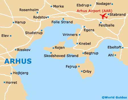
Aarhus Airport (AAR)
City Orientation and Maps
(Aarhus, Denmark)

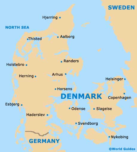
Denmark's second-biggest city, Aarhus is an important area of commerce and is located in the Jutland area. Known for its university and lively music scene, the city of Aarhus boasts a host of theatres, clubs and entertainment venues.
Aarhus is easy to reach by air, with the Aarhus Airport (AAR) being located outside of the city and to the north-east. Public transport within the city itself includes the Hovedbanegard train station, which lies on the southern side of the centre, while the extensive network of buses serves the region well. The Aarhus bus station is situated to the north-east of the train station and is just a short walk away.
Aarhus Airport (AAR) Maps: Important City Districts
Central Aarhus is fairly compact and it is easy to get your bearings in this area. Both Sankt Clements Torv and Sondergade are notable pedestrianised streets, full of shopping opportunities, with further streets nearby, particularly in the historic heart of the old town region. To the north-west of Aarhus cathedral you will find a good selection of places to eat, including many popular restaurants.
The tourist information centre in Aarhus is located along Radhuset and is open from Monday to Sunday for most of the year, offering a range of leaflets about the area's attractions and waterfront area. Nearby, the city's university, known locally as 'Aarhus Universitet', lies on the northern outskirts and is home to around 40,000 students.
Denmark Map
Aarhus Map